Strong Winds and Heat Raise Wildfire Risk Across Multiple New Jersey Counties
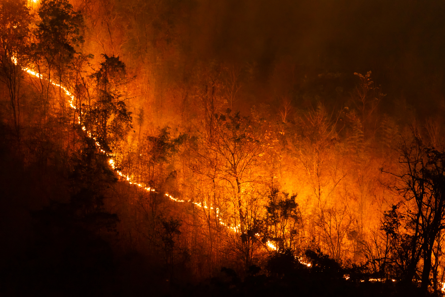
New Jersey is facing a heightened wildfire threat today as a combination of unusually warm temperatures and strong winds creates conditions that could allow fires to spread quickly. Weather officials have issued alerts covering several parts of the state, warning residents to remain cautious as the risk remains elevated throughout the day.
According to the latest forecast, temperatures are expected to rise well above seasonal averages, with many areas across northern and central New Jersey reaching the low to mid-80s. At the same time, wind gusts could reach up to 40 miles per hour, increasing the likelihood that any fire that starts could grow rapidly and become difficult to control.
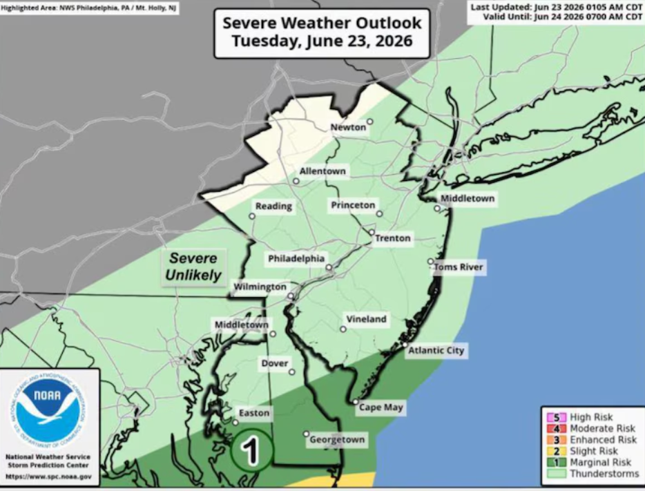
The alert currently affects multiple counties, including Atlantic, Burlington, Camden, Cape May, Cumberland, Gloucester, Ocean, Salem, and parts of western Monmouth. Officials have made it clear that the combination of dry conditions, heat, and strong winds creates a dangerous environment where even a small spark could lead to a fast-moving wildfire.
Authorities are strongly advising against any form of outdoor burning. Activities such as burning debris or lighting open fires could pose serious risks under these conditions. Residents are being urged to take extra precautions and avoid any actions that could unintentionally ignite a fire.
While inland areas will experience warmer temperatures, coastal regions along the Jersey Shore are expected to stay relatively cooler. This is due to onshore winds that bring in cooler air from the ocean, helping to moderate temperatures in those areas.
Relief from the dry and windy conditions is expected to arrive soon. Early Wednesday may bring some light showers, followed by more steady rainfall around midday. Temperatures are forecast to drop into the upper 60s and low 70s, offering a noticeable change from the current warm conditions. Rainfall totals are expected to average around half an inch across much of the state, with a chance of isolated thunderstorms.
Looking ahead, a cold front is expected to slow down near or just east of the region Wednesday night. Another weather system is likely to move along this boundary into Thursday, bringing additional chances of showers, particularly in areas south and east of the I-95 corridor. However, rainfall amounts for Thursday have been trending lower in recent forecasts.
Northern and western parts of the state may see drier conditions on Thursday, with temperatures settling into the mid-60s. By Friday, clearer skies and dry weather are expected to return, along with mild temperatures ranging from the mid to upper 60s.
The weekend could start with another round of unsettled weather, as a new system may bring showers on Saturday. Residents are encouraged to stay updated with weather alerts and forecasts as conditions continue to change over the coming days.
For now, the main concern remains the elevated wildfire risk, and officials stress the importance of public cooperation to prevent any incidents during this critical period.
Sources:
National Weather Service