


Severe Flash Flooding Grips New Jersey as Multiple Counties Face Dangerous Rapid Water Rise and Ongoing Heavy Rain
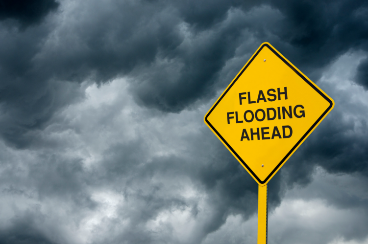
Flash flood warnings have been issued across several parts of New Jersey as slow-moving thunderstorms continue to bring intense and persistent rainfall to the region, creating hazardous conditions on roads and in low-lying communities.
According to the National Weather Service, a wide stretch of the state was affected on Monday morning as storm systems stalled over New Jersey, producing heavy downpours that quickly overwhelmed drainage systems. In multiple counties, rainfall totals reached between 2 to 4 inches within a short period, with additional rain still falling in already saturated areas.
Early in the day, warnings were first issued for portions of Hunterdon, Mercer, and Somerset counties after meteorologists detected rapidly rising water levels and continuous storm development. Shortly after, additional warnings were expanded to include central parts of Cumberland County, sections of Gloucester County, and areas in Salem County, as rainfall intensity increased.
By mid-morning, the situation escalated further as more counties were placed under flash flood warnings, including Mercer County along with parts of Burlington, Middlesex, Monmouth, and Ocean counties. In some of these regions, rainfall rates were reported as high as 1 to 3 inches per hour, significantly increasing the risk of dangerous flooding in a short time frame.
Officials reported that in several eastern areas of Middlesex, Monmouth, and Ocean counties, up to 3 inches of rain had already accumulated by late morning, and conditions were still deteriorating. Emergency weather statements indicated that flash flooding was either already occurring or expected to develop quickly, with some locations experiencing rapidly rising water levels that could pose life-threatening risks.
This weather event marks the fourth consecutive day of severe thunderstorms and heavy rainfall impacting New Jersey. The repeated storms have kept much of the state under flood watch conditions, with most areas remaining at risk through the evening hours. In parts of northern New Jersey, including Bergen, Essex, Hudson, Passaic, and Union counties, flood watches are expected to extend into Tuesday morning due to continued instability in the atmosphere.
The impact of the recent storms has also been felt beyond flooding concerns. Over the Fourth of July weekend, strong winds associated with thunderstorms caused widespread power disruptions across the state. At one point, nearly 249,000 homes and businesses were without electricity. Although restoration efforts have been ongoing, approximately 56,000 customers were still without power as of Monday morning, highlighting the continued strain on utility infrastructure.
Authorities continue to urge residents to avoid unnecessary travel, especially in areas experiencing active flooding or poor visibility. Drivers are advised not to attempt to cross flooded roadways, as water levels can rise quickly and road conditions may be more dangerous than they appear.
Forecasters note that while the heaviest rainfall is expected to remain concentrated along and east of the Interstate 95 corridor, isolated pockets of heavy rain may still develop in other parts of the state throughout the day. This means that even areas not currently under warnings could experience sudden flooding conditions.
Emergency management teams and weather officials are closely monitoring the situation as additional storm bands move across the region. Residents are encouraged to remain alert to updated weather alerts and to prepare for continued unstable conditions until the storm system fully moves out of the area.
Sources:
National Weather Service
New Jersey State Emergency Weather Monitoring Updates
Local Utility Power Restoration Reports

