
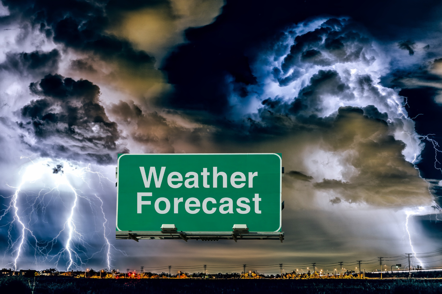
New Jersey Faces Dangerous Mix of Extreme Heat, Strong Storms, and Flooding Risk Through Holiday Weekend
New Jersey residents are facing a challenging Fourth of July holiday weekend as dangerous heat, severe thunderstorms, and the threat of flash flooding continue across the state. Weather conditions are expected to remain unstable through Sunday and into the beginning of next week, creating concerns for holiday travelers, outdoor events, and communities already impacted by recent storms.
The situation comes after powerful storms moved through New Jersey on Friday evening, leaving more than 175,000 homes and businesses without electricity. Utility crews continue working to restore service while forecasters warn that additional rounds of severe weather could create new problems over the weekend.
Saturday is expected to be the hottest day of the holiday period, with temperatures climbing into the mid-90s and some locations approaching 100 degrees. Combined with high humidity levels, the air could feel significantly hotter, with heat index values reaching as high as 110 degrees in some areas. Such conditions can increase the risk of heat-related illnesses, particularly for people spending extended periods outdoors.
Meteorologists are also closely monitoring the potential for severe thunderstorms during the afternoon and evening hours on Saturday. Forecast models indicate that storms could develop and move across the state between mid-afternoon and late evening. Strong wind gusts are expected to be one of the primary threats, while heavy rainfall may quickly overwhelm drainage systems and trigger localized flash flooding.
Weather officials have placed nearly all of New Jersey under a slight risk for severe weather. The southwestern portion of the state faces a somewhat higher threat level, where storm conditions may become more intense. Residents in vulnerable flood-prone areas are being urged to remain alert as rapidly changing weather conditions could develop with little warning.
The severe weather threat is not expected to end after Saturday. Forecasters say Sunday could bring another active day of showers and thunderstorms, particularly during the afternoon and evening. While temperatures are expected to ease slightly compared with Saturday’s extreme heat, humidity will remain high enough to make conditions uncomfortable across much of the state.
High temperatures on Sunday are forecast to remain in the upper 80s and lower 90s. However, the combination of heat and moisture in the atmosphere could still push feels-like temperatures into the mid-90s and even low 100s in some locations. At the same time, the southern half of New Jersey is expected to face a greater risk of severe thunderstorms than other parts of the state.
One of the biggest concerns for Sunday is the potential for heavy rainfall. Forecasters warn that some thunderstorms could produce rainfall rates between one and two inches per hour. Intense downpours of that magnitude can quickly lead to flash flooding, especially in urban areas, low-lying communities, and locations that have already received significant rainfall.
Looking ahead to Monday, weather conditions are expected to remain unsettled as a stalled weather front lingers near the region. Additional rounds of showers and thunderstorms are forecast throughout the day, although temperatures should become noticeably cooler, generally ranging from the mid-70s to the lower 80s.
Despite the cooler temperatures, flooding concerns may actually increase. Areas that experience repeated rounds of rain over several consecutive days could see water levels rise rapidly, increasing the possibility of flash flooding and localized flooding issues. The risk is especially significant where heavy rain falls repeatedly over the same locations.
The unsettled pattern may continue into Tuesday, with additional showers and thunderstorms remaining possible. Weather conditions are expected to gradually improve by Wednesday as the lingering front finally moves south of the area, allowing drier air to return and bringing a more stable weather pattern to New Jersey.
For now, residents across the state should prepare for rapidly changing weather conditions throughout the holiday weekend. The combination of extreme heat, strong thunderstorms, damaging winds, and the possibility of flash flooding could create hazardous conditions in many communities. Anyone planning outdoor activities should closely monitor local forecasts and remain prepared to adjust plans if severe weather develops.
Sources
National Weather Service (NWS)
National Weather Service Mount Holly Forecast Office
Official weather forecasts and advisories issued for New Jersey and surrounding regions.