New Jersey weekend forecast: Soaking rain, breezy conditions, and cooler temperatures expected

New Jersey is heading into a damp and chilly weekend as a weather system brings widespread rain, cooler air, and unsettled conditions across the state. Forecasters say residents should prepare for a prolonged wet spell beginning Friday and continuing through Sunday, with temperatures staying below seasonal averages.
The change in weather begins Friday as a cold front moves through the region. Conditions are expected to gradually turn more unsettled, with increasing cloud cover and a noticeable drop in temperatures compared to earlier in the week. Weather officials report that many parts of New Jersey will see highs only in the low 60s to low 70s, along with the possibility of isolated light showers developing later in the day.
The most significant impact of the system is expected on Saturday, when steady and at times heavy rainfall spreads across much of the state. Meteorologists indicate that this will likely be the wettest day of the weekend, with breezy winds adding to the cold and damp feel. In some locations, rainfall totals could reach up to around 1.5 inches, increasing the risk of water accumulation in low-lying areas and creating slippery road conditions for drivers.
Temperatures on Saturday and Sunday will remain on the cooler side, generally staying in the 40s and 50s. The persistent cloud cover and rainfall will limit any meaningful warming, making it feel more like late fall than spring across parts of the region.
By Sunday, the steady rain is expected to gradually weaken and move out of the area during the morning hours. However, light showers may continue into the afternoon, especially near coastal areas such as the Jersey Shore. Despite the improving trend, skies will likely remain mostly cloudy for much of the day, with highs reaching only the 50s.
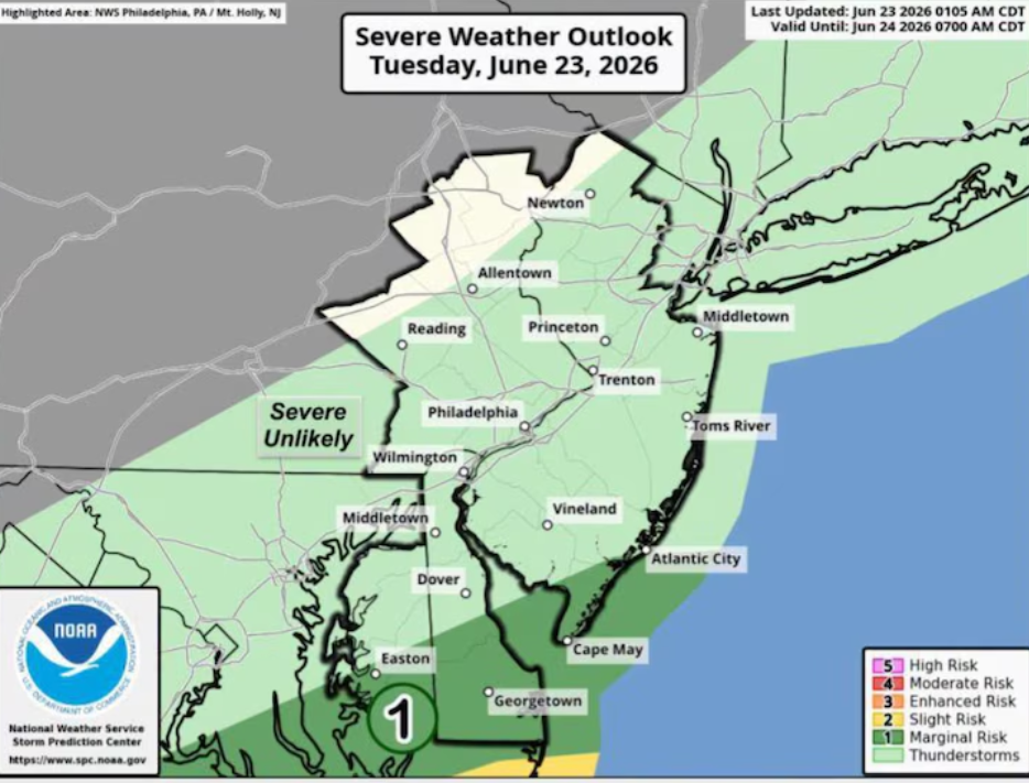
Looking ahead to the start of the new week, conditions are expected to improve significantly. Monday should bring mostly sunny skies and a return of milder air, with temperatures climbing back into the low 60s in many areas. Tuesday is expected to remain similar in terms of temperature, although there is a chance of showers developing again later in the day as another system approaches.
Weather experts note that this pattern of alternating wet and dry periods is typical during seasonal transitions, as cold and warm air masses continue to shift across the region.
Residents are advised to stay updated with local forecasts and plan accordingly, especially for travel on Saturday when rain will be at its most intense.
Sources:
National Weather Service