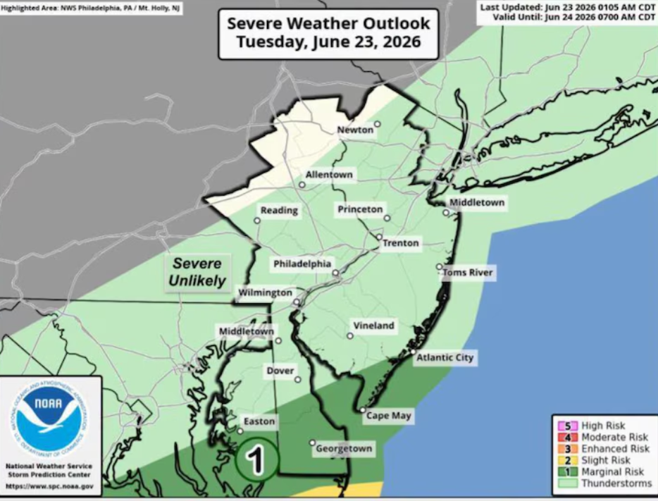
Warmer Air Set to Return to New Jersey Midweek Following Early Week Cold Snap
N.J. weather is expected to shift from a frosty start to a noticeably milder pattern as temperatures gradually climb through the middle of the week, according to the latest forecast updates.
After a cold night with temperatures falling below freezing across the state, Tuesday is bringing a slow recovery. Afternoon highs are expected to rise into the 50s, offering a slight but noticeable improvement compared to the previous day. Weather experts note that while temperatures will still remain below seasonal averages, conditions will not feel as harsh as the recent cold spell.
Throughout Tuesday, cloud cover is expected to increase gradually. This change in the sky conditions will mark the beginning of a more active weather pattern. By late night, scattered showers are likely to develop, continuing into early Wednesday morning.
These overnight showers could begin after around 2 a.m. Wednesday and may lead to reduced visibility during the morning commute, creating potentially slower travel conditions for early commuters across parts of New Jersey.
Wednesday is expected to bring further warming, with temperatures rising into the upper 50s and potentially reaching the upper 60s in some areas. Although the day will start off damp in certain regions, conditions should gradually improve as the day progresses.
The warmest day of the week is forecast for Thursday. Clearer skies are expected to allow temperatures to climb into the 70s across much of the state, marking a brief return to more comfortable and spring-like conditions.
However, this warmer spell may not last long. A cold front could approach the region on Friday, which may slightly lower temperatures again. Forecast confidence remains uncertain regarding the strength of this system, but a shift toward cooler air is possible heading into the weekend.
By Saturday, temperatures could drop noticeably, potentially falling 10 to 15 degrees lower than Friday’s readings. Along with the cooler air, a developing storm system may bring widespread rain to the state from Friday night into Saturday. Total rainfall amounts could reach up to half an inch in some locations.
Looking ahead to Sunday, conditions are expected to become drier again. While precipitation is likely to move out of the region, cloud cover may still linger in parts of New Jersey, keeping skies partly overcast through the end of the weekend.
Overall, the week ahead features a dynamic weather pattern with a midweek warm-up followed by another cooling trend and a brief weekend rain system before improving conditions return.
Sources:
National Weather Service
National Oceanic and Atmospheric Administration