New Jersey to Enjoy Warm Sunshine Before Midweek Rain Moves In

New Jersey is set to experience a pleasant and warmer start to the week as sunny skies dominate Monday, followed by a gradual shift toward cloudier conditions and a return of widespread rain by midweek, according to latest weather expectations.
The week begins on a bright and dry note across the state. Monday brings mostly sunny conditions with a comfortable rise in temperatures reaching the 60s during the afternoon hours. Early morning started on the colder side, with temperatures dropping into the mid to upper 30s in several areas. Due to the chilly start, frost advisories were issued in multiple counties, but they are expected to end by 8 a.m. as temperatures recover.
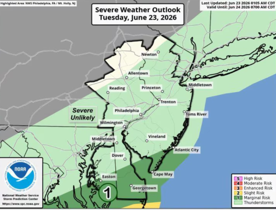
Weather conditions remain relatively stable on Tuesday. Most of New Jersey will continue to stay dry with daytime highs again settling in the 60s. However, cloud cover will gradually increase throughout the day. Forecasters also note a slight chance of light showers developing later in the day, particularly in northeastern parts of the state and along the I-95 corridor, though most locations are expected to remain dry.
By Wednesday, the atmosphere becomes more unsettled. Skies will stay mostly cloudy with temperatures still holding in the 60s, but the overall weather pattern will begin to change as a storm system approaches from the west. This system is expected to move into the region Wednesday night.
The incoming weather system will bring a period of widespread rainfall across New Jersey from Wednesday night into Thursday morning. In some areas, an isolated thunderstorm cannot be ruled out. According to forecasts supported by the National Weather Service, rainfall totals are expected to range between half an inch and one inch, with locally higher amounts possible depending on storm intensity.
Behind the storm system, conditions will turn cooler and breezier on Thursday. Afternoon highs are expected to drop into the 50s and lower 60s, while wind gusts may reach up to around 20 mph, making it feel noticeably cooler compared to earlier in the week.
Friday is expected to bring a brief break from steady rainfall, though skies will remain partly cloudy. A slight chance of passing showers still exists, and winds may pick up again with gusts reaching between 20 to 25 mph in some areas.
Looking ahead to the weekend and early next week, weather models suggest a continuation of cooler-than-average conditions for this time of year. Additional chances of scattered rain may also develop, keeping the overall weather pattern unsettled.
Residents across New Jersey are advised to stay updated with local forecasts as midweek weather conditions may impact travel and outdoor plans, especially during the Wednesday night to Thursday rain system.
Sources
National Weather Service (NWS) Forecast Guidance
NOAA Climate and Weather Outlook Reports