New Jersey Set for a Comfortable Weekend Before Rain and Thunderstorm Chances Return
New Jersey residents can look forward to another stretch of pleasant weather this weekend, with comfortable temperatures, sunshine, and dry conditions expected across much of the state. After several days of calm weather, forecasters say the favourable pattern will continue through Sunday before a noticeable change arrives early next week, bringing increasing chances for showers and thunderstorms.
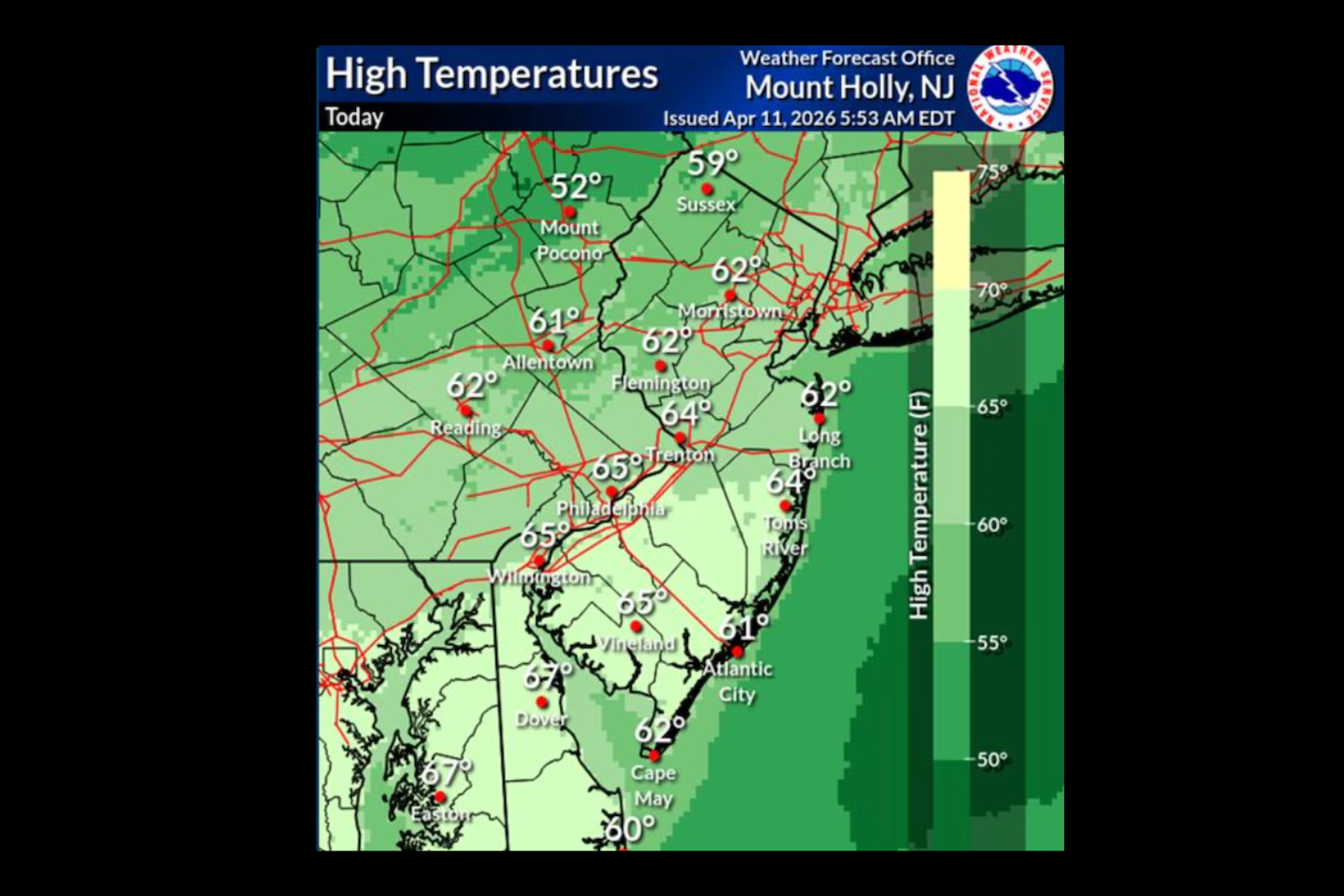
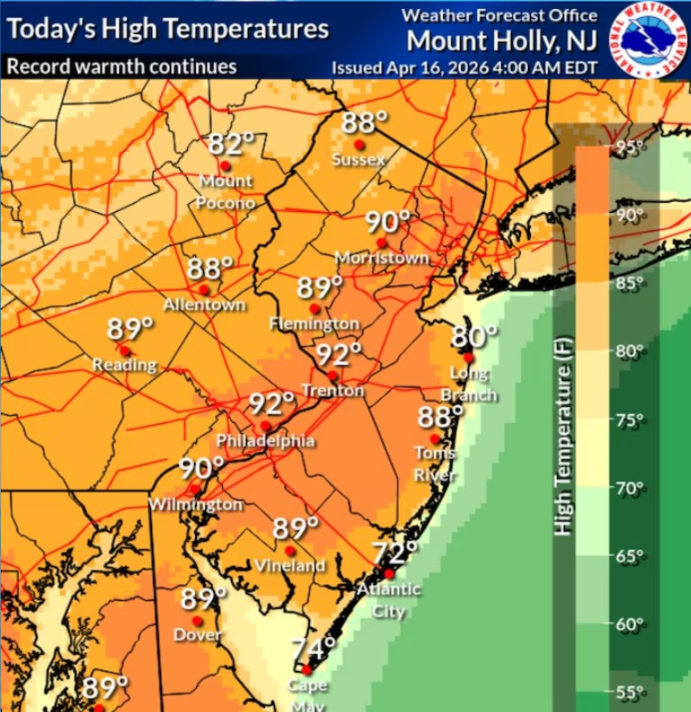
According to the latest forecast from the National Weather Service, Friday will remain dry with mostly sunny skies for much of the day. Some high clouds may gradually move into the area during the afternoon, but they are not expected to affect outdoor plans. Temperatures are forecast to reach the upper 70s to the middle 80s, providing comfortable conditions for travel, recreation, and other weekend activities.
The stable weather pattern is expected to remain in place through the weekend. Temperatures will slowly climb each day while humidity levels stay relatively comfortable, creating pleasant conditions across New Jersey. The combination of sunshine, light winds, and seasonable warmth should make this one of the more enjoyable weekends in recent weeks.
The calm weather is being supported by a stable atmospheric pattern that is keeping significant storm systems away from the region. As a result, most communities can expect dry conditions with no widespread rainfall expected through the end of the weekend.
However, weather conditions are expected to become more active as the new week begins. Forecasters are monitoring a developing system that could bring multiple rounds of showers and thunderstorms to parts of New Jersey during the first half of next week. While the exact timing and location of the storms may change as newer forecast data becomes available, residents should be prepared for wetter conditions after several days of sunshine.
Meteorologists also note that some of the storms could become stronger, with the potential for locally heavy rainfall in certain areas. If heavier storms develop, localised flooding in low-lying or poor-drainage locations could become a concern. Although it is too early to determine exactly which areas may experience the greatest impacts, weather officials continue to monitor the evolving forecast.
The gradual increase in temperatures through the weekend will also provide additional energy for thunderstorm development once the weather pattern shifts. This transition from calm, dry weather to a more unsettled atmosphere is common during the summer months, when warm air and increasing moisture combine to support storm activity.
Anyone planning outdoor events, vacations, or travel later next week should continue checking updated forecasts, as timing and storm intensity could change over the coming days. Staying informed will help residents make adjustments if periods of heavy rain or thunderstorms become more likely.
For now, New Jersey is expected to enjoy several more days of pleasant summer weather before the atmosphere turns more unsettled. The sunny skies and comfortable temperatures offer an ideal opportunity for outdoor activities, while next week’s forecast serves as a reminder that changing summer weather can quickly bring renewed chances for rain and thunderstorms.
Sources:
- National Weather Service (NWS)
- National Oceanic and Atmospheric Administration (NOAA)