


Heavy Rain and Strong Storms Put Parts of New Jersey Under Flood Watch This Afternoon
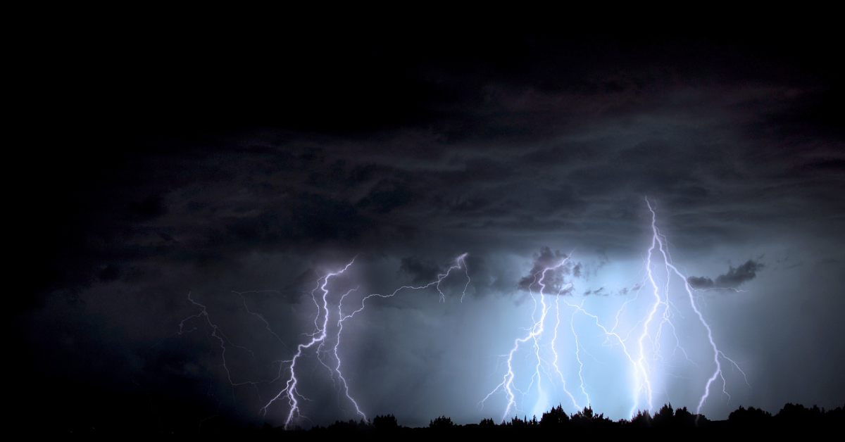
Heavy rain and severe thunderstorms are expected to move across parts of New Jersey this afternoon and evening, prompting weather officials to issue a flood watch for four counties where flash flooding could become a concern.
The flood watch begins at noon and includes Camden, Gloucester, Salem, and northwestern Burlington counties. Residents in these areas are being urged to stay alert as changing weather conditions could bring periods of intense rainfall along with strong thunderstorms.
According to the latest forecast, showers and thunderstorms are expected to develop during the afternoon and continue into the evening. Some of these storms may produce very heavy downpours over a short period of time, increasing the risk of flooding in locations where water cannot drain quickly.
Forecasters say rainfall rates could reach between 1 and 2 inches per hour in the strongest storms. Such rainfall can quickly overwhelm drainage systems, leading to water collecting on roads, in low-lying neighborhoods, and in other flood-prone areas. Even places that do not typically experience flooding may see temporary water accumulation if heavy rain falls in a short amount of time.
In addition to the heavy rain, the storms may also bring damaging wind gusts. Strong winds have the potential to create hazardous travel conditions and could cause minor storm-related damage in affected communities. Weather conditions may change rapidly throughout the day as thunderstorms develop.
Drivers are encouraged to use extra caution if traveling during the afternoon or evening. Roads can become dangerous when heavy rain reduces visibility or causes water to collect on the pavement. Motorists should avoid driving through flooded roadways, as water depth can be difficult to judge and conditions may change quickly.
Residents living in the four counties covered by the flood watch should continue monitoring local weather updates throughout the day. Thunderstorms capable of producing heavy rainfall can develop with little warning, making it important to stay informed as conditions evolve.
The flood watch does not mean flooding is already occurring. Instead, it indicates that weather conditions are favorable for flooding to develop if the heaviest storms move over the same areas. People in flood-prone locations should remain prepared and pay close attention to any additional weather alerts that may be issued as the storm system moves through the region.
With heavy rain, strong thunderstorms, and the possibility of damaging winds in the forecast, officials recommend staying weather-aware and taking appropriate precautions until the threat passes later today.
Sources
- National Weather Service (NWS)
- National Weather Service Mount Holly Weather Forecast Office

