


New Jersey Enjoys Early Summer Warmth as Stable Weather Pattern Holds Through Midweek
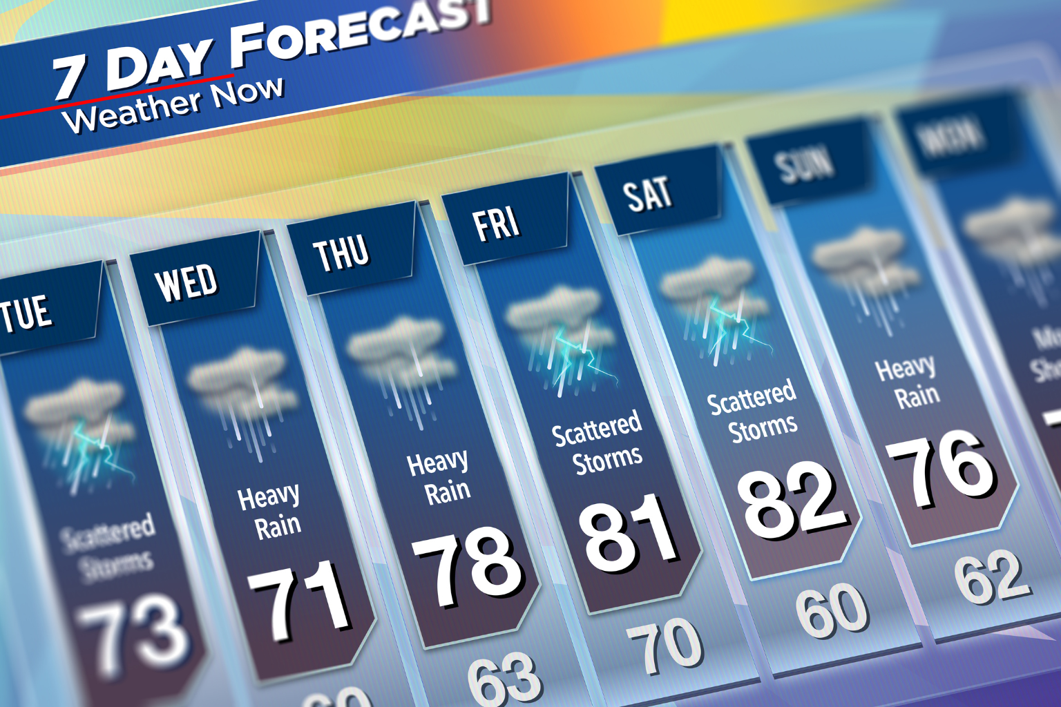
New Jersey is entering the new week with a stretch of calm and pleasant weather, bringing comfortable temperatures, mostly clear skies, and only limited chances of rain in select coastal areas. The overall weather pattern remains stable, offering residents a smooth transition into meteorological summer.
Sunday is expected to stay bright and sunny across much of the state. Afternoon temperatures are forecast to rise into the mid-70s, creating mild and comfortable conditions for outdoor plans. Skies will remain mostly clear, and no significant weather disruptions are expected.
On Monday, conditions will stay largely consistent with Sunday’s pattern. High temperatures will again stay in the lower to mid-70s. While a weak cold front is expected to move through the region, it will not bring any major change in weather conditions. Only a small chance of light rain, estimated around 20 percent, is possible mainly along coastal areas, but most locations across New Jersey are expected to remain dry.
As the new workweek continues into Tuesday, the atmosphere becomes slightly more unsettled. There is a possibility of a few scattered showers, although recent forecasts suggest a drier trend than previously expected. Even with this slight chance of rainfall, temperatures will continue to remain steady in the 70s, keeping conditions seasonably mild.
By Wednesday, the weather pattern is expected to return to a more stable state. Temperatures will remain close to early June averages, with daytime highs in the mid-70s and overnight lows settling in the mid-50s. Overall, midweek conditions are expected to feel comfortable and typical for the start of summer.
Toward the latter part of the week, attention turns to a developing coastal system forming near the North Carolina shoreline. This system is forecast to move slowly northeastward over the Atlantic Ocean. Current projections suggest that it will remain offshore, which means most of New Jersey is likely to stay dry through Thursday and Friday.
However, some uncertainty remains regarding its exact track and strength. If the system shifts closer to the coast or moves more slowly than expected, it could introduce cooler breezes from the northeast, potentially keeping temperatures slightly lower than forecast. Otherwise, if it remains offshore as predicted, temperatures may gradually rise into the 80s later in the week.
Overall, the weather outlook for New Jersey remains favorable, with a mix of sunshine, mild temperatures, and only limited chances of rain. Residents can expect a generally calm and pleasant start to June, with only minor variations as the week progresses.
Sources:
National Weather Service (NWS) Forecast Discussion – New Jersey Region
National Weather Service Weather Prediction Center (WPC) Outlook
NOAA Climate Data and Regional Forecast Guidance

