New Jersey Set for Waves of Rain Before Potential Heat Builds Next Week

New Jersey residents can expect several rounds of showers and thunderstorms over the next couple of days before a return to drier weather this weekend and the possibility of significantly hotter temperatures next week.
According to the latest forecast, most areas across the Garden State will experience partly sunny conditions through much of Thursday, with afternoon temperatures climbing into the 80s. While the day is expected to remain relatively pleasant, weather conditions are forecast to change later tonight as the first round of rain moves into the region.
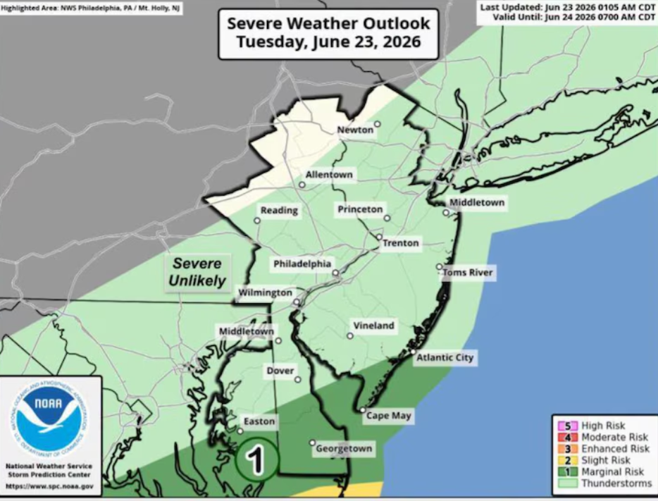
Forecasters say showers and thunderstorms are likely to develop late Thursday evening and continue into Friday morning. The greatest chances for rainfall are expected in locations north of Interstate 78. Some communities could see periods of heavier rain, but widespread flooding is not currently anticipated. Weather officials also indicate that the risk of severe thunderstorms remains low at this time.
As Friday progresses, many parts of New Jersey may experience a break from the wet weather. While a few isolated showers cannot be ruled out during the daytime hours, much of the state could remain largely dry through the afternoon. Temperatures are expected to reach the low to mid-80s, while increasing humidity will make conditions feel noticeably warmer.
The next weather system is forecast to arrive late Friday, bringing another round of showers and possible thunderstorms. Rain is expected to continue into Saturday as a weather front slowly moves through the region. Areas south of Interstate 78 could see the most persistent rainfall during this period.
Although the wet weather may impact outdoor plans heading into the weekend, conditions are expected to improve as the front moves away. By Saturday, less humid air should begin filtering into the state, helping temperatures settle into the mid to upper 70s. The drop in humidity is expected to provide a more comfortable feel compared with the warmer and more humid conditions expected on Friday.
The forecast becomes much more favorable on Sunday. Dry weather, sunshine, and temperatures returning to the 80s are expected to create pleasant conditions across much of New Jersey. The improved weather could offer residents a welcome break following several periods of rain earlier in the weekend.
Looking ahead to next week, weather experts are monitoring the potential for a notable increase in temperatures. Forecast models indicate that a prolonged stretch of above-average warmth could develop during the second half of the week. By Wednesday, heat index values could rise into the 90s and approach 100 degrees in some locations if the warmer scenario develops.
Meteorologists note that confidence remains lower in the longer-range forecast. Some forecast models suggest a cooler and more unsettled weather pattern could prevent temperatures from climbing as high. Other projections favor a faster expansion of hot air across the region, increasing the likelihood of an extended period of summer heat.
For now, New Jersey residents should prepare for changing weather conditions over the next several days, including periods of rain and thunderstorms through Saturday, followed by improving conditions on Sunday and the possibility of much hotter temperatures during the middle of next week.
Sources
National Weather Service (NWS)