Snowstorm Eases Across New Jersey After Record-Breaking Blizzard, Another Round of Snow Possible This Week

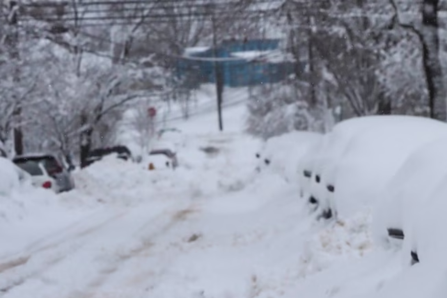
New Jersey is finally getting respite after a strong winter storm dumped two feet of snow on portions of the state Sunday and Monday. The hardest precipitation has ended, but cold air, gusting winds, and blowing snow are still hitting several communities, and forecasts predict another system might bring more snow this week.
The National Weather Service canceled all New Jersey blizzard and snow storm warnings Monday afternoon. However, some counties had coastal flood alerts until early Monday evening. The last bands of light snow and flurries were forecast to leave by early Monday evening, leaving most regions with minimal accumulation.
Even when the snowstorm is over, the storm’s effects continue. Much of the state is seeing blowing snow and limited visibility due to 25–35 mph winds. These conditions can make travel difficult, especially in snowy places with partially covered roads. Residents are advised to be cautious, especially at night.
The temperature is also falling fast. Northwest of Interstate 95, overnight lows will be in the teens, while southeastern sections will be in the low 20s. Tuesday will be cold and gusty with 30 mph winds. Late February temperatures are forecast to be in the 20s and 30s, far below usual.
New Jersey is digging out as another weather storm approaches from the west. On Tuesday night and Wednesday, a fast-moving clipper system is forecast. This system is expected to bring light snow to much of northern New Jersey, with one to three inches possible in the northwest.
Snowfall is forecast to be under an inch elsewhere in the state. Rain and snow may mix in some locations, turning to rain by Wednesday morning. This next round of snow may not be as intense as the recent blizzard, but it could make the Tuesday night and Wednesday morning commute difficult.
Conditions should improve by Wednesday afternoon. As warmer air arrives, skies should clear and temperatures will increase into the 40s. Some of the blizzard snowpack will melt due to this warming trend.
The weather trend persists. A stronger system is expected Thursday night. As a warm front approaches, snow or rain-snow may start. Plain rain is likely throughout southern and eastern New Jersey. Northern and western regions may keep snow longer. Forecasters warn that this system’s timing, trajectory, and snowfall totals are still uncertain.
By Friday, temperatures should approach the 40s again. Weather will be milder this weekend, with 40s to 50s predicted. These warmer temperatures could help melt snow across the state.
The recent blizzard created history in several places. From Sunday afternoon to Monday afternoon, Newark Liberty International Airport received 27.1 inches of snow. The February 23 snowfall record was 17.1 inches on Monday, beating the 1987 mark of 4.1 inches. The storm met blizzard requirements in Newark and Teterboro Airports with at least three hours of high wind gusts, blowing snow, and limited visibility.
Sunday brought 7.9 inches of snow to Trenton Mercer Airport in Ewing, beating the 2001 record of 6.3 inches. Monday brought another 8.5 inches, making the storm total of 16.4 inches. 10 inches of snow fell at Atlantic City International Airport, breaking the 1987 February 23 record of 6.5 inches.
The storm’s ferocity and widespread impact on New Jersey are shown by these record totals. While the blizzard is over, chilly temperatures, gusting winds, and more snowfall chances imply winter is far from over in New Jersey.
Residents should follow official forecasts throughout the week and prepare for changeable weather, especially overnight and early morning when roads may refreeze.
Sources
National Weather Service
Official airport snowfall data reports from Newark Liberty International Airport, Trenton Mercer Airport, and Atlantic City International Airport