
New Year’s Day Brings Snow Squalls and Gusty Winds Across New Jersey
A snowfall hit New Jersey early Thursday morning, starting the New Year. Snowfall was intermittent and accompanied by 50-mph winds. Snow ranged from a light dusting to an inch deep.
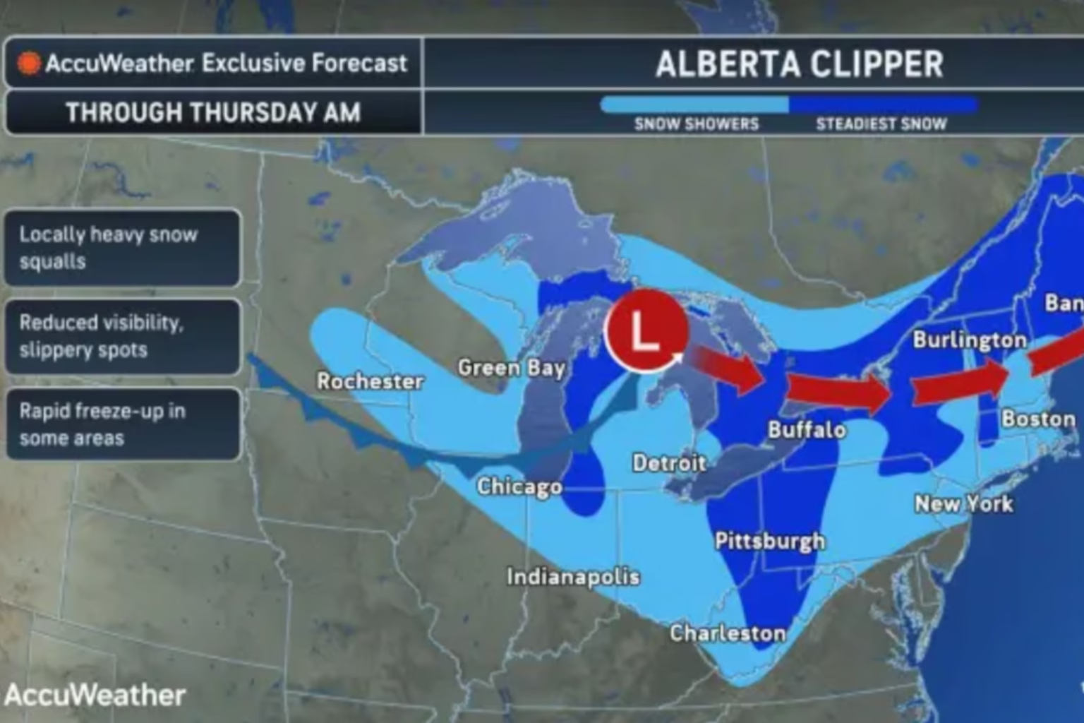
Starting at 3 a.m., the NWS issued many snow squall warnings. Last one, which encompassed five southeastern counties, ended about 8 a.m. Drivers and people were warned of short-lived squalls that obscured visibility. In the morning, I-95 snow showers might worsen perilous conditions.
The Arctic front brought northwest winds to the state. These winds were 15–20 mph and gusted to 35 mph. Weather was expected to remain terrible most of Thursday and improve after nightfall. The southeast was forecast to be in the mid to upper 30s, while most of New Jersey was in the upper 20s to low 30s.
Nighttime temperatures were expected to drop into the teens to low 20s, with winds of 10 mph and gusts up to 15 mph. Residents were advised to dress warmly since the wind chill could plummet into the teens and single digits.
Friday was forecasted to be dry and cool, with state highs in the 30s. The forecast predicts mid-teens to low-20s nightly lows with largely clear skies. Saturday morning was forecasted to be dry with clouds and 30s temperatures.
Weather reports indicate an unsettled Saturday night and Sunday morning. How a low-pressure system moved determined how much rain New Jersey got. Snow was expected to last briefly south of I-95. Sunday and Monday would be cold and dry due to high-pressure systems.
A southwest return flow brought a warmer front to the state on Tuesday after the high pressure went out to sea. By midweek, temperatures could reach a few degrees above average before another cold front.
Residents should follow National Weather Service updates on winter travel and outdoor safety.
Sources:
- National Weather Service (NWS)
- New Jersey State Government Weather Updates