
New Tropical System Likely to Develop in Atlantic as Hurricane Activity Ramps Up
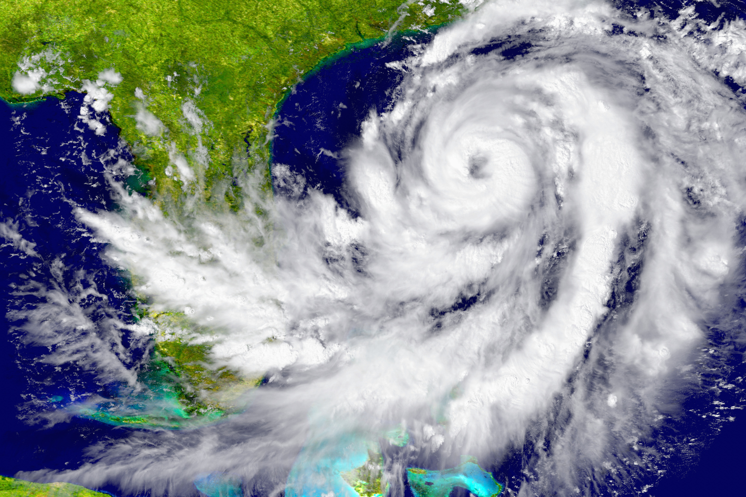
Hurricane season is approaching, and meteorologists are analyzing a big central Atlantic disturbance. The National Hurricane Center discovered Invest 92L, a large low pressure zone between the Windward Islands and western Africa. This 10–15 mph west-northwest system over warm Atlantic waters is accompanied by large but chaotic showers and thunderstorms. It might become a tropical depression or storm by midweek.
Multiple models expect a 50–60% tropical depression over the next two days. Chance is 90% after 7 days. As the system improves, dry air and wind shear should decrease, permitting organization.
Open ocean disturbance is predicted to continue. Most projections place it north of the Caribbean in the middle Atlantic. Forecasters are monitoring upper-level air currents and the jet stream, which may change its path.
Late August–September is peak Atlantic storm season. After a quiet spell, tropical cyclone formation is improving. Storms are predicted for this week due to warm sea surface temperatures in the major development region.
Tell Atlantic islanders and coastal inhabitants. Even if there is no imminent threat, prepare for increased rainfall, gusty gusts, and coastal sea-state changes near a named storm.
Sources
National Hurricane Center
WESH
WDSU
FOX Weather