New Jersey Snowstorm Dumps Up to 9 Inches Early as Blizzard Conditions Expected to Intensify Overnight

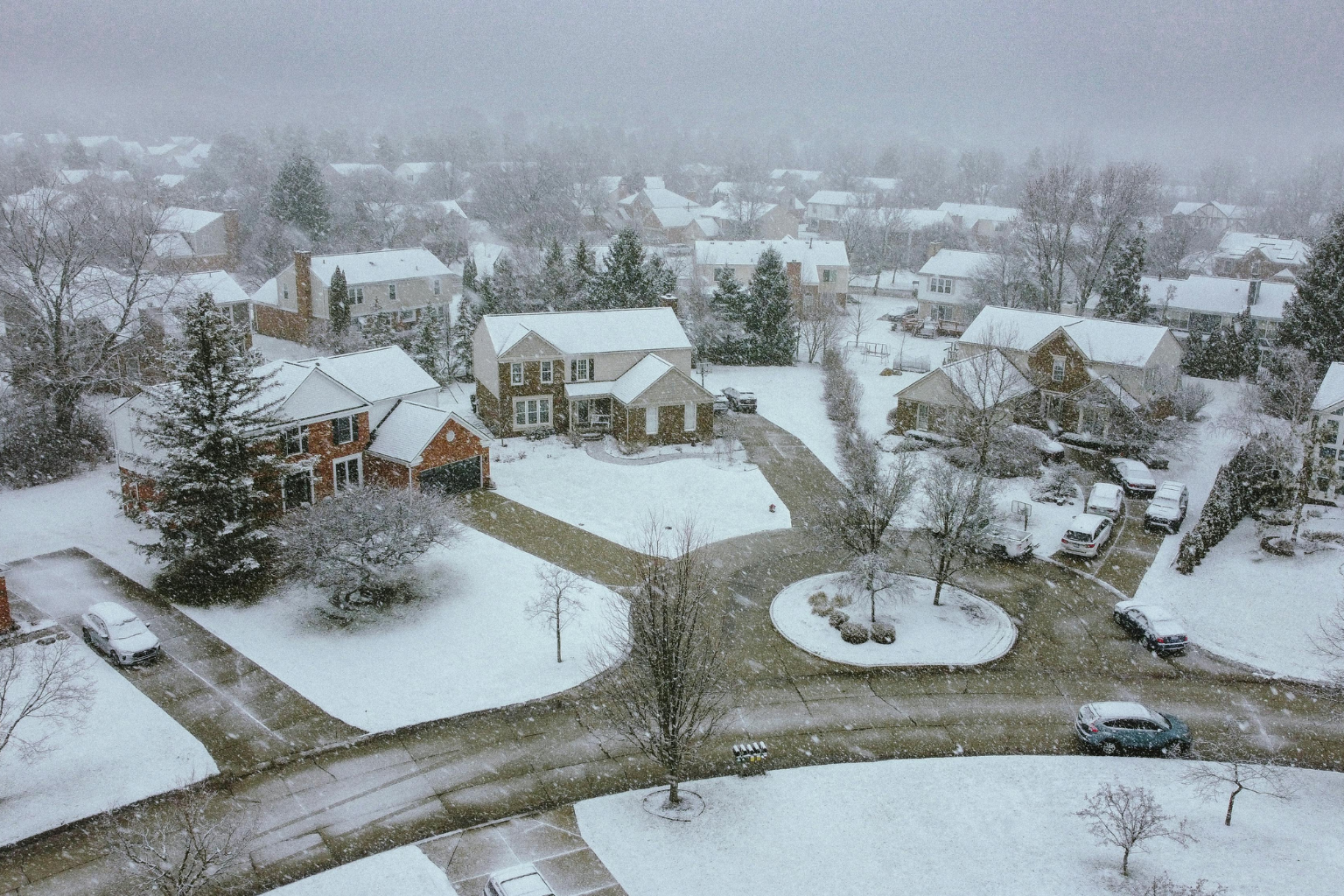
New Jersey municipalities are reporting 8–9 inches of snow from a severe winter storm before it becomes a blizzard. The storm’s worst half is forecast tonight into Monday morning, with greater snowfall and stronger gusts.
As of late Sunday evening, the National Weather Service reported that Monmouth, Camden, and Ocean counties were hardest damaged. As of 9:45 p.m., Howell in Monmouth County had 9.4 inches of snow, while Blackwood in Camden and Lakewood in Ocean counties had 8 inches.
Additional central and southern New Jersey areas had heavy accumulation. Edison and East Brunswick reported roughly 6 inches, while South River in Middlesex County measured 6.5 inches. Freehold, Freehold Township, and Jackson in Monmouth and Ocean counties were near 6 inches.
Atlantic County saw 7.6 inches of snow in Ventnor City and 2.6 inches in Atlantic City International Airport. Brigadentine and Atlantic City received over 7 inches, while Hammonton and Buena Vista Township received 3–4 inches.
Bergen County, North Jersey, saw 7.7 inches of snow in Leonia and 7 inches in Franklin Lakes. Ridgefield had 6.8 inches, while Fair Lawn and River Edge had 5–6 inches.
Also remarkable were Burlington County totals. Lumberton had 7.5 inches, Chesterfield 7.4 inches, and Mount Laurel 7 inches. Both Browns Mills and Lake Pine exceeded 6 inches. Blackwood had 8 inches in Camden County, while Collingswood had 7.
South, Ocean View in Cape May County got 3 inches. Cumberland County’s Vineland was 2 inches. North Caldwell reported nearly 6 inches in Essex County, while Newark Airport reported 4 inches.
Hudson County totals were 3.7 inches in Kearny and 5.3 inches in Hoboken. Mercer County towns like West Windsor Township recorded nearly 6 inches, while others reported 4–5 inches.
Many Middlesex County communities exceeded 5 inches, including Perth Amboy at 7 inches. Howell contributed 9.4 inches and Colts Neck 7.8 inches to Monmouth County’s high accumulation.
In Ocean County, Lakewood had 8 inches, Jackson 6 inches, and Brick and New Egypt 5-6 inches. Passaic County towns Clifton and Wayne were under 4 inches. Westfield and Cranford in Union County had 6 inches, while Newark Airport had 4 inches in Essex and Union counties.
Forecasters warn that these are early totals and that snowfall rates will rise overnight. Strong gusts could impair visibility and cause near-whiteouts late Sunday night into early Monday, when the weather service predicts the worst snowfall. Winds can also topple tree limbs and electricity lines, causing sporadic outages.
Officials advise citizens to avoid needless travel as roads may suddenly turn snow-covered and hazardous. Snow is anticipated to stick and accumulate quickly overnight due to low temperatures.
This storm has already impacted much of the state, but weather experts warn that ultimate snowfall totals could be far higher. Residents should follow official weather updates as situations change.
Emergency management experts are monitoring the situation as New Jersey prepares for one of the biggest winter occurrences of the season.
Sources:
National Weather Service
State and local emergency management updates