New Jersey Snowstorm Causes Major Disruptions but Falls Short of State’s Most Historic Blizzards, Expert Says

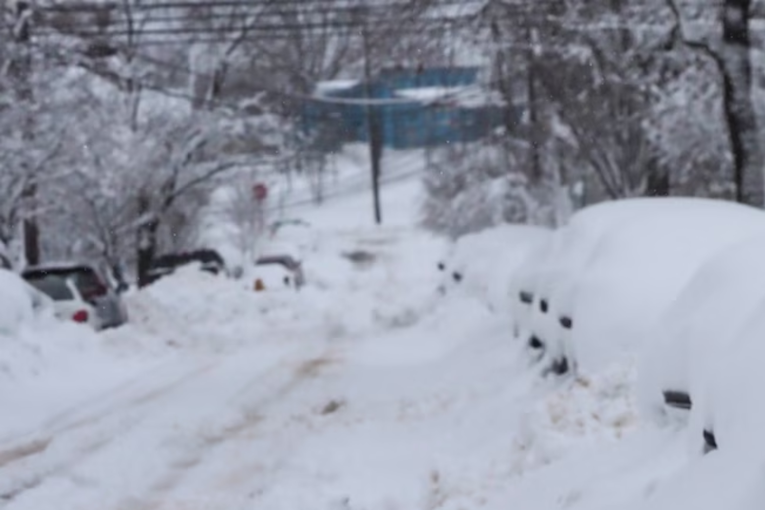
This week, a powerful two-day winter storm dumped heavy snow, caused strong winds, closed schools, delayed public transportation, and left thousands without power in New Jersey. Many residents considered the storm historic. Snow-covered automobiles lined neighborhood streets, plows worked 24/7, and daily routines were disturbed statewide.
The storm was intense and vast, but New Jersey’s top climate expert believes it wasn’t the worst snowstorm on record.
Rutgers University State Climatologist David Robinson predicts this storm will not rank among New Jersey’s top 10 largest snowstorms. His office manages dozens of state-approved weather stations and keeps climate information from 1895.
Robinson stated that most locations did not receive enough snowfall to make the storm one of the state’s worst. Some communities received double-digit snowfall, but many did not. Few sites reported totals over 20 inches. Based on those estimates, the storm would not be among the top five statewide winter storms.
Residents who experienced road closures, delayed trains, and downed power lines may remember the storm. New Jersey has had higher snowfall and harsher winters.
A stronger nor’easter from January 31 to February 3, 2021, was cited by Robinson. That system brought more snow to significant sections of the state than the current storm. Montague and Mount Arlington received nearly 30 inches of snow. At least 20 inches of spread during that event made it stronger in terms of accumulation.
Residents also remember “Snowzilla,” the January 2016 winter storm. That storm brought more than two feet of snow, severe winds, treacherous snow drifts, and flooding to New Jersey. About 100,000 power losses and many deaths were attributed to the storm. Each county in the state received at least one foot of snow, an unusual event.
Robinson added that while blizzard conditions were confirmed in Bergen and Essex counties, this storm is unlikely to be classified as a statewide blizzard. The latest statewide blizzard was the famous January 1996 one.
New Jersey’s winter extremes benchmark is the January 1996 storm. That storm dumped 27.8 inches of snow on Newark, the city’s most ever. Newark had 27.2 inches of snow this week, making it the city’s second greatest snowstorm according to the National Weather Service. Weather records in Newark begin in 1931.
It was Atlantic City’s ninth heaviest snowstorm, dropping 16.9 inches over two days. The eighth largest snowstorm in Trenton history, 16.4 inches, was recorded.
No statewide records were broken, however Atlantic City, Newark, and Trenton established new day snowfall marks for February 22 or 23. Daily data show how severe the snowfall was throughout that span, even though totals did not exceed historic benchmarks.
Weather experts stress that storm comparisons go beyond snowfall. Wind speed, storm duration, geographic coverage, coastal flooding, and power outages affect severity. This storm caused major disruptions and perilous travel conditions, but New Jersey has seen many winter storms with greater impact and accumulations.
This storm will undoubtedly be remembered by many, especially in North Jersey where snowfall was greatest. Buried cars in Bayonne and snow-packed highways show how powerful the system was. However, historically and climatologically, it does not match the state’s most extreme winter storms.
Officials will complete snowfall reports and rankings once climate records are evaluated. For now, experts agree that while the February snowfall was large and disruptive, it is not New Jersey’s strongest.
New Jersey residents are still recovering, but history shows the state has survived stronger winter storms.