New Jersey Blizzard 2026: Town-by-Town Snowfall Nears 19 Inches as State Remains Under Warning
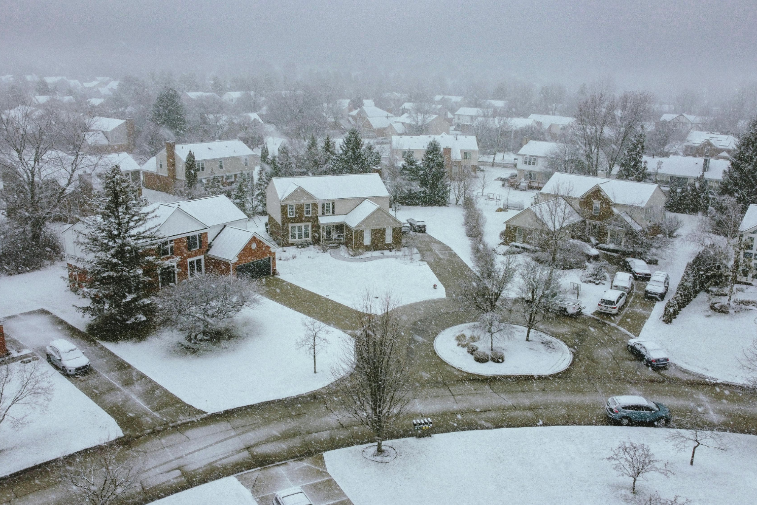
Heavy snow and dangerous conditions are spreading over New Jersey due to a severe winter storm. Many communities recorded 16–19 inches of snowfall as of early Monday morning, with more coming. Strong gusts and little visibility keep all 21 counties under a blizzard warning.
Forecasters predict snowfall into the early afternoon, adding to considerable accumulations. Center and southern New Jersey have seen the most snow, with some communities receiving two inches per hour.
The highest reported snowfall is 19 inches in Freehold, Monmouth County. Outside the National Weather Service’s Mount Holly forecast office, 18.5 inches was recorded. Mount Holly weather officials reported over two inches of snow per hour over four hours overnight.
In Atlantic County, Atlantic City International Airport reported 14.5 inches, Mays Landing 14 inches, and Margate City 13 inches. Atlantic City had 12.6 inches, while Galloway Township, Somers Point, Ventnor City, and Brigantine had 11–12 inches. Hammonton reported 8.2″.
Bergen County saw 13 inches in Leonia and 5 inches in Rutherford and Little Ferry. Carlstadt and Ridgefield reported 12 inches, while River Edge, Northvale, River Vale, Bergenfield, and Fair Lawn reported 5–7 inches.
Heavy snowfall has hit Burlington County. Westampton and Mount Holly reached 19.2 inches. Columbus had 19 inches, Lake Pine, Medford Township, and Mount Laurel 18 inches. Burlington Township was 17 inches, Maple Shade 16 inches, and Chesterfield nearly 16. Bordentown and Delran reported 14 and 13 inches, while South Jersey Regional Airport reported 15.3 inches.
Snowfall hit Camden County also. Barrington and Lindenwold reported 16.5 inches, while Somerdale reported 18 inches. Blackwood saw 12 inches, Gibbsboro and Collingswood 10 inches, and Mount Ephraim 15 inches.
Dennisville had 12 inches and North Wildwood 8.7 inches in Cape May County. Essex County saw 18.3 inches at Newark Airport, which serves Union and Essex counties. Nutley and North Caldwell got 6–8 inches, while Glen Ridge got 10.5 inches.
Gloucester County reported 12 inches in Woodbury, 8 in Malaga and Glassboro. Franklin Township and Washington Township were little under 7 inches. Hudson County reported 16 inches in Union City and 7.5 in Harrison.
Hunterdon County totals were lower than central and southern regions, with Stanton 8.6 inches and Ringoes 5.5. Readington was 3.5″.
In Mercer County, Lawrenceville got 14 inches. Hamilton Square approached 10 inches, Trenton Mercer Airport 7.9 inches. Hopewell had 3 inches, while Ewing, Robbinsville Township, and West Windsor Township had 5–8 inches.
Heavy snowfall hit Middlesex County. Cranbury had 17 inches, South River 15.5 inches, and North Brunswick about 15 inches. Edison measured 11.8 inches, Metuchen 14.4 inches, and Piscataway slightly over 11 inches. Other communities reported 8 inches.
Monmouth County’s Freehold led the state with 19 inches. Colts Neck measured 9.2 inches, while Howell and Manalapan Township measured 11 inches. Both Tinton Falls and Keyport reported 7.5 inches.
Morris County saw 15 inches of snow in Randolph and 4 inches in Morris Plains. Millington measured 6.5 inches, Madison 11.8 inches.
Lakehurst got 13.2 inches and Whiting 10 inches in Ocean County. Lakewood was 8 inches, brick 9.3 inches.
Passaic County reported 14″ in Clifton. Salem County logged 12 inches in Woodstown and 7 in Pennsville.
Somerset County saw high totals at Watchung (15 inches) and Warren (14.5 inches). Middlebush had 10 inches, Bedminster Township and Bridgewater 8 inches. Somerville and Montgomery Township were slightly over 5 inches.
Sussex County saw 9.5 inches in Sparta and 6 in Wantage Township.
Union County reported 18.3 inches at Newark Airport, 16 in Westfield, and 14 in Mountainside. Cranford, Kenilworth, and Springfield were 9–12 inches.
Stewartsville had 3.2 inches and Blairstown 2.2 inches, and Warren County had lower totals than the state.
While several of these measures were taken late Sunday night or early Monday morning, officials say more snowfall may increase totals. Strong winds continue to cause flying snow and poor visibility in New Jersey.
Residents should avoid unnecessary travel until conditions improve. Many communities have snow-covered roads, and visibility drops quickly during heavier snow bands.
Central and southern areas are hardest hit by this winter storm. After weather observers report new totals, measurements will be updated.