Flood Watch in New Jersey: Heavy Rain and Storms Could Cause Dangerous Flooding

Flood Watch Issued for Parts of New Jersey as Storms Bring Heavy Rain
Some parts of New Jersey could flood quickly because of storms and heavy rain.
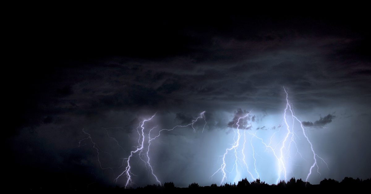
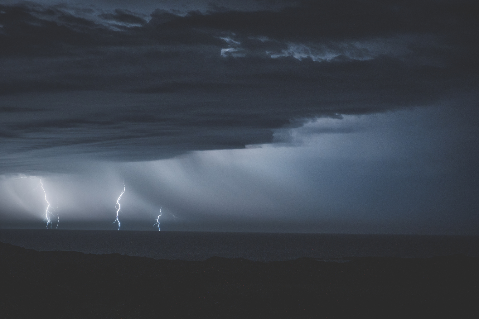
This morning, the National Weather Service put seven counties in New Jersey on flood watch. Care should be taken by the people who live there. The warning comes before slow-moving showers and thunderstorms that are likely to bring heavy rain to the area on Wednesday afternoon and evening. The risk will last until early Thursday morning.
All of Camden, Gloucester, Mercer, Middlesex, Salem, and Somerset counties, as well as the northwest corner of Burlington County, are under the warning. It will last until Thursday at midnight.
The storms could bring between 1 and 3 inches of rain an hour, and some places could get even more. A lot of rain could fall in some places if the same storm clouds stay over them for a long time. Getting around could be dangerous if it rains this much, especially in towns and other places with bad drainage.
The government says that rivers, streams, creeks, and other low-lying places could flood if there is too much runoff. Areas in cities with lots of hard surfaces are more likely to flood because water won’t be able to drain quickly.
The Day’s Heat Before the Weather
The highs will be in the low to mid-90s. When you add humidity, it will feel like it’s in the low to mid-90s. Before the storms hit the state, this will make it exceedingly hot.
Heat, rain, and a slow-moving storm make today a bad day for flooding, say meteorologists. Residents should avoid flooded roads, check the weather forecast, and be flexible with travel arrangements.
By Thursday morning, the weather should be gone. Some areas may get rain later in the week owing to moisture. The government advises low-lying or flood-prone residents to watch the weather.
Sources:
National Weather Service New Jersey Forecast
Local NJ Weather Updates (AccuWeather, Weather.com)


