
Cold Winds and Fire Risk Grip New Jersey as Frosty Mornings Return This Week
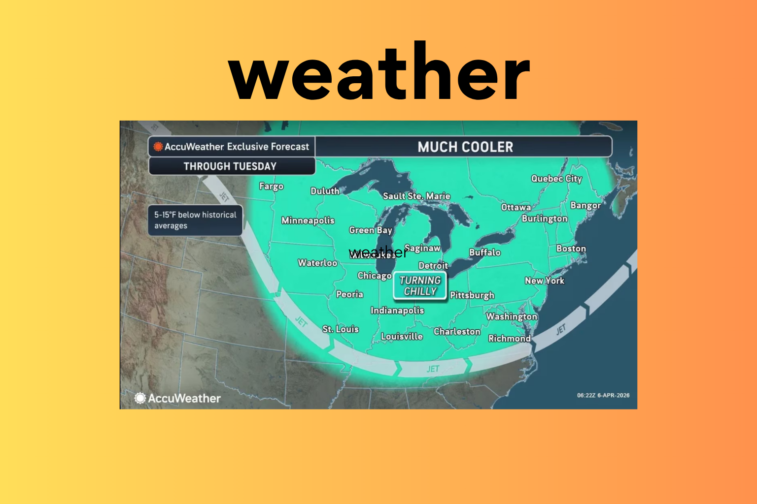
New Jersey is heading into a colder and windier stretch this week, bringing a mix of chilly temperatures, dry air, and an increased risk of wildfire spread. Residents across the state are expected to feel below-normal temperatures in the coming days, along with the possibility of frost during early mornings before a gradual warm-up arrives later in the week.
At the start of the week, conditions remain mostly clear, but breezy winds are making temperatures feel even colder. Daytime highs are staying in the 50s, while wind gusts are reaching up to 25 miles per hour. These dry and windy conditions are already raising concerns among weather officials about fire safety.
The situation becomes more concerning on Tuesday, when stronger wind gusts of up to 35 miles per hour are expected, combined with low humidity levels. This combination creates an environment where fires can spread quickly, increasing the risk across parts of the state. Weather authorities have indicated that a wildfire alert could be issued as conditions worsen.
Later on Tuesday, a cold front is set to move through the region, bringing an even sharper drop in temperatures. By early Wednesday morning, many areas across New Jersey could see temperatures fall below freezing. This sudden drop will make for a very cold start to the day, especially in inland regions.
Despite the cold start, Wednesday will bring sunny skies, with daytime temperatures reaching around 50 degrees. However, the chilly pattern continues into Thursday morning, when patchy frost may develop in some areas. Residents are advised to take precautions during early morning hours, especially to protect plants and outdoor surfaces sensitive to freezing temperatures.
As the week progresses, conditions are expected to improve. By Friday, temperatures will begin to climb back toward more typical levels for this time of year, with highs returning to the 60s. This warming trend will offer some relief after several days of colder-than-usual weather.
Overall, the week ahead brings a mix of cold air, gusty winds, and fire weather concerns before a more comfortable pattern returns heading into the weekend. Residents are encouraged to stay updated with local forecasts and take necessary precautions, especially during periods of strong winds and freezing morning temperatures.
Sources:
National Weather Service
AccuWeather