
Bone-Chilling Arctic Cold to Hit New Jersey: Temperatures to Drop to Single Digits and Teens
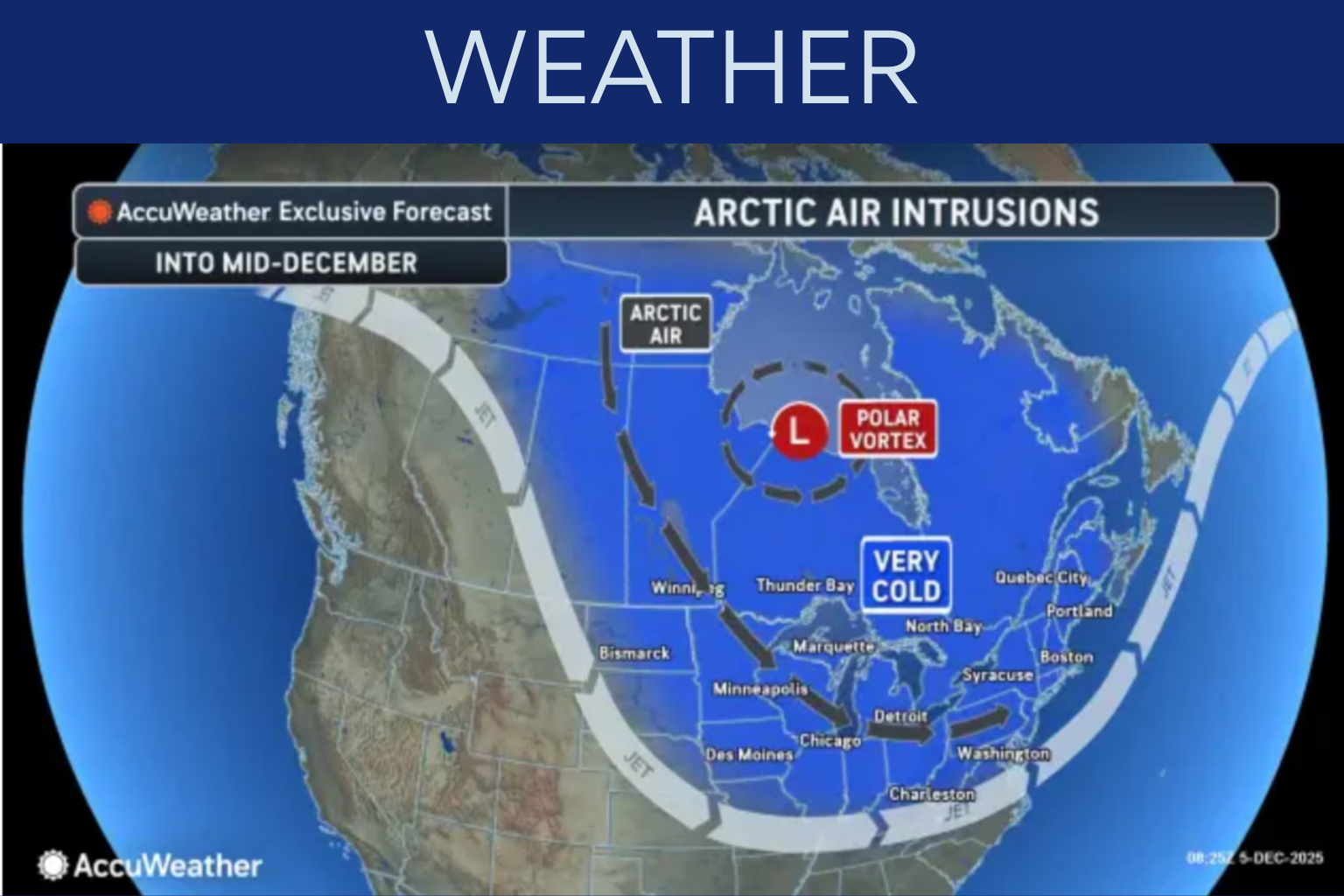
Air from the Arctic cools New Jersey. Sunday night until Monday morning, the northwest will be below 10 degrees. Other states will be teens. NJ turns 20 Saturday night. Sunday will be overcast and mid-30s–low-40s. The cold front will pass. A strong northwest cold front will slam the state Sunday night. Winds will blow and temperatures drop. Snowflakes fall north of I-78 occasionally. Monday is colder due to Arctic high pressure. In early December, inland and coastal temperatures will struggle to reach mid-20s and low-30s. Seasonal average. By noon, northwest winds may reach 25 mph, causing a wind chill in the teens or low 20s.
It will be coldest Monday and Tuesday night and morning. NW NJ will have single-digit evening lows. Most places have coldest teens. A cold Jersey Shore wind will make 20s feel worse.
Tuesday will bring low to mid-30s mid-country highs. Coastal highs reach 40. Seasonal low week highs. Wednesday coastal highs may reach 40-50. Mountain snow and coastal rain may arrive Wednesday.
New Jersey may face fast-moving storms Thursday night or Friday. Forecasters can’t anticipate storm timing, location, or severity.
Another Arctic outbreak may occur this weekend. This cools the weather by 10–20 degrees over several days. Check your local long-term cold forecast.
Early December in NJ is frigid. Warm up, cover your pipes, and check on cold-stricken state residents.
Sources:
AccuWeather
National Weather Service