New Jersey Faces Historic Blizzard Threat as Governor Urges Residents to Avoid Travel
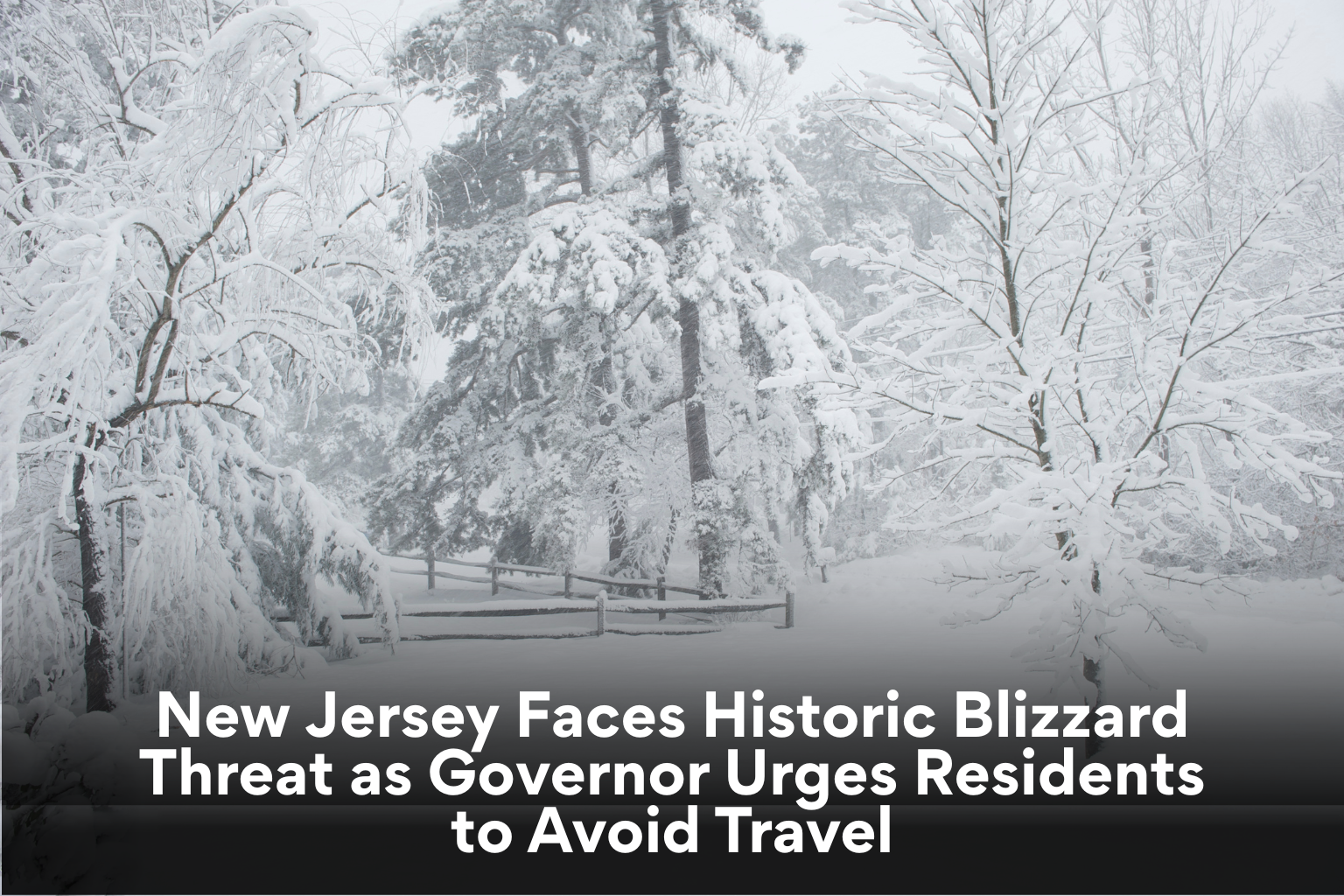
State officials in New Jersey are warning that historic snowfall levels may be reached in the coming winter storm. At a lunchtime press conference in Woodbridge, Governor Mikie Sherrill said there is a 90% chance that all 21 counties will receive at least 12 inches of snow from the storm cyclone.
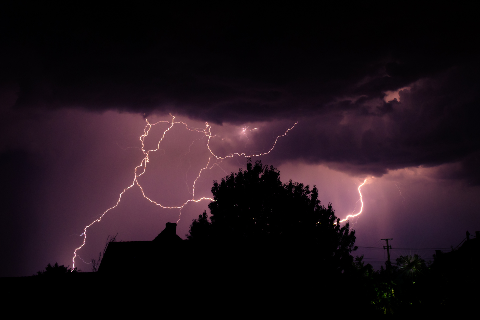
This is the first blizzard warning for the entire state since 1996. Officials warned that heavy, deep snow and high winds might cause power outages and dangerous travel. The governor advised residents to stay home and avoid unnecessary travel, and while the state will manage the emergency, public collaboration is essential for safety.
Some communities may receive two feet of snow, according to official forecasts. Ocean, Monmouth, and southeastern Burlington counties are expected to receive over two feet of snow, placing them among the most impacted. Across the state, 12 to 24 inches of snow is forecast in inland areas.
A statewide emergency was declared around midday. Starting Sunday afternoon, key highways will have a 35-mph speed limit and commercial vehicle restrictions at 3 p.m. These steps, state leaders said, aim to reduce accidents and keep routes open for emergency and snow removal services.
Public transit is also being cut. NJ Transit leadership said bus, light rail, and Access Link services would terminate at 6 p.m. Train services are anticipated to continue, but officials will monitor weather and may halt service if conditions worsen. Residents were warned that train service may end later in the evening.
National Weather Service scientists predict the strongest snowfall overnight into Monday morning. Snowfall can reach three inches per hour at peak intensity. Rapid accumulation and wind gusts up to 60 mph in coastal counties can cause blowing and drifting snow that limits visibility.
Inland wind gusts might reach 45 mph. Forecasters cautioned that visibility may collapse to a quarter mile or less, creating whiteout conditions that can be deadly.
Northwestern sections of the state saw snow by Sunday morning. As colder air moves in from the north, light rain south of Interstate 78 may turn into snow in the morning and afternoon. Officials stated that snowfall rates are projected to exceed those of January’s winter storm, raising fears about its impact.
The New Jersey Board of Public Utilities said it worked with utilities before the storm. Heavy snow and strong winds might cause outages, so crews are ready. Residents should report outages to their utility company and check on elderly or vulnerable neighbors during protracted power outages.
State leaders urged preparation and care as the storm intensifies. Officials encouraged residents to finish critical tasks early, charge electronics, and postpone travel as conditions worsen. Emergency management teams in all counties are on notice since the storm may linger until Monday afternoon.
A major winter storm is coming in New Jersey, which could disrupt transportation, utilities, and daily life. Authorities will keep forecasts updated as conditions change.”
Sources:
New Jersey Office of the Governor
National Weather Service
New Jersey Board of Public Utilities
NJ Transit