
New Jersey Braces for Widespread Snowfall as Winter Storm Strengthens Across the State
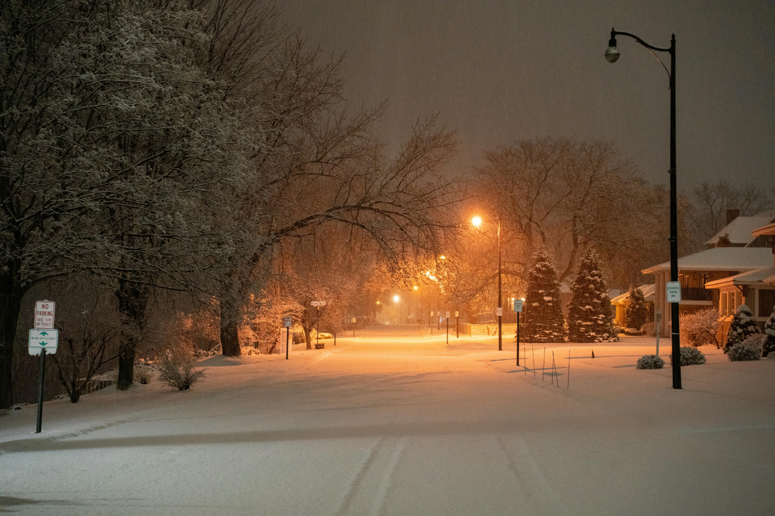
New Jersey expects a major winter storm as snowfall and warnings rise. Over five inches of snow and cold air will make driving dangerous overnight and Sunday morning.
New Jersey may have light snow in the north and several inches in the south and central. Southern and central New Jersey may get 5 inches of snow, but heavier bands may shift.
Most of the state and 19 counties are storm-alert. Not notified: little northeastern New Jersey area with little snow. Rain Saturday night may complicate matters, say officials.
Snow will fall tomorrow, especially Sunday morning. Colder air can turn rain into snow overnight in coastal and highway areas. Nighttime snowfall will increase north and west.
Forecasters say midnight and morning lows may slick untreated roadways, walkways, and other surfaces. Avoid speeding.
Snow will finish from northwest to southeast by late Sunday morning and most regions around midday. A few snow showers may continue into the afternoon after the main system passes, but no considerable accumulation is forecast.
The storm’s Arctic air may bring New Jersey its coldest temperatures this year. Strong winds Snow may blow and drift Sunday night, reducing visibility. Winds over 30 mph chill more.
The state’s wind chill could drop below zero by Sunday night and Monday morning. Most locations will see low to mid-30s Monday afternoons.
Cool nights remain till Tuesday next week. Wednesday and Thursday steady long-term warming. Another storm may bring rain later this week, but it will end.
Local and state officials are monitoring the storm and asking homeowners to prepare for winter, help neighbors, and keep informed. Watch official weather notifications for storm updates.
Sources:
National Weather Service
New Jersey State Weather Authorities